JupyterGIS 0.16: New visualization capabilities, collaborative Story Maps, and more
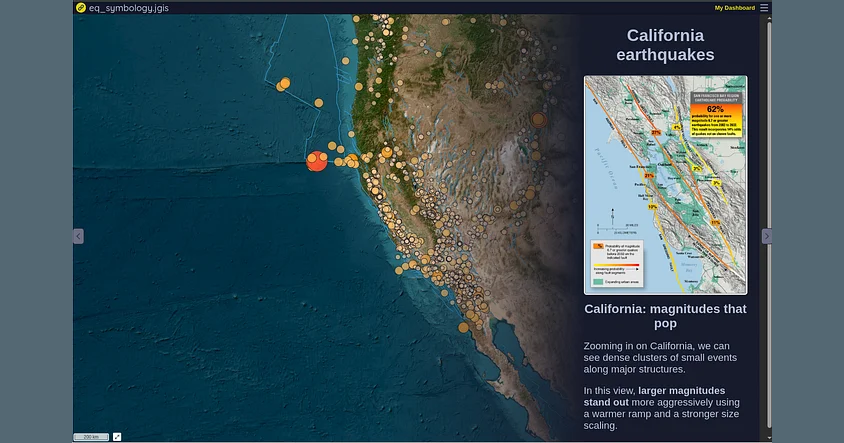
This release adds support for new geospatial formats, tighter integration with the scientific Python ecosystem, a redesigned Story Map editor, and...


This release adds support for new geospatial formats, tighter integration with the scientific Python ecosystem, a redesigned Story Map editor, and...
Since its initial announcement less than two years ago, JupyterGIS has been a growing effort to bring interactive geospatial workflows into the...
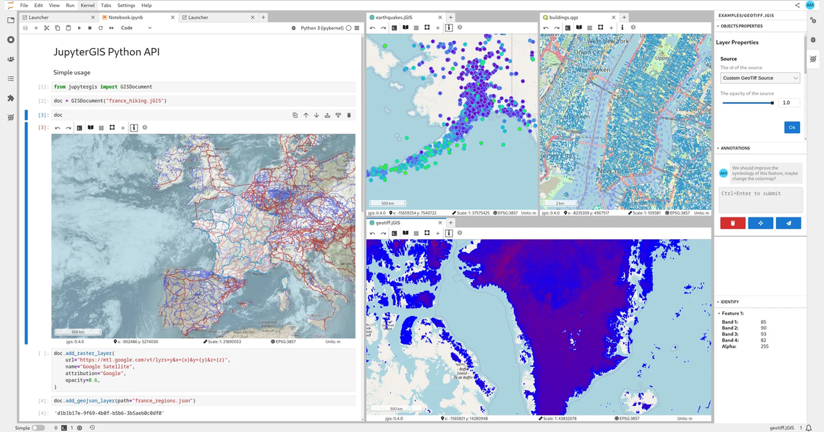
The QGIS open-source project is a cornerstone in the geosciences ecosystem, providing robust tools for spatial data analysis and visualisation.
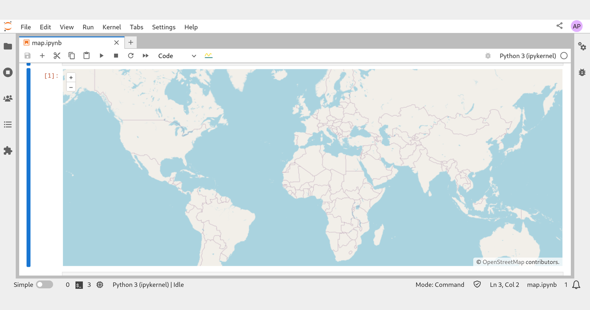
Bringing the Power of OpenLayers to Jupyter.
Pioneering Web-based, Collaborative, and Open-source GIS Tools
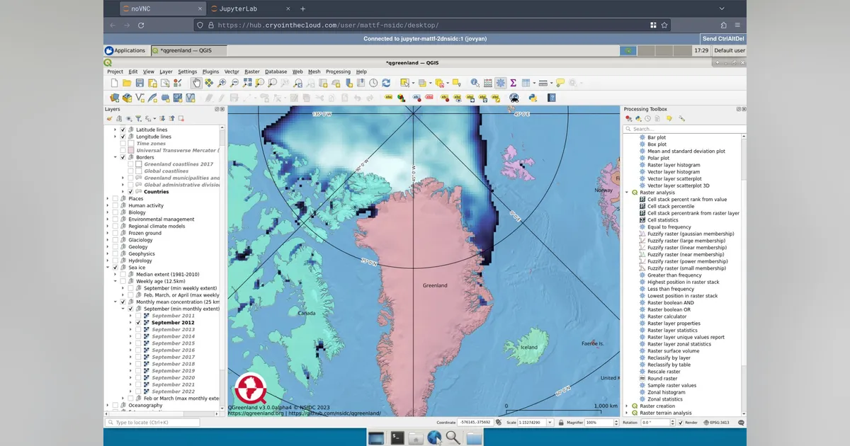
A QGreenland workshop success story
Summary of the EarthCube community meeting on July 27, 2020
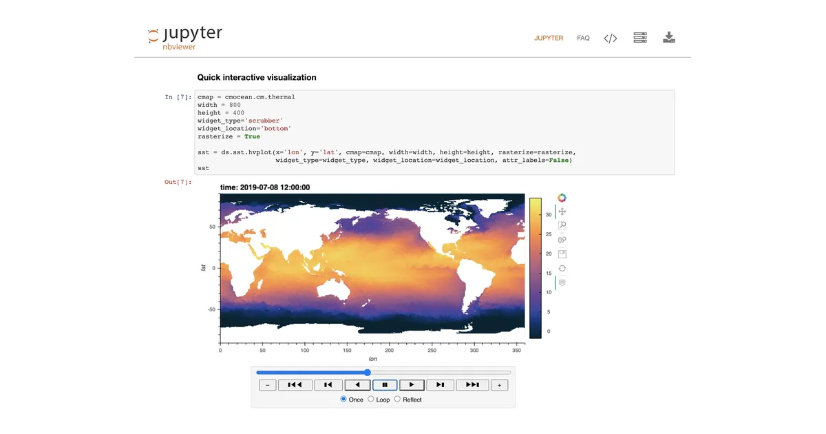
As Jupyter grew in popularity, a broad ecosystem of visualization packages based on Jupyter widgets has been developed, bringing even more...
We are thrilled to announce that the NSF is funding our EarthCube proposal “Jupyter meets the Earth: Enabling discovery in geoscience through...
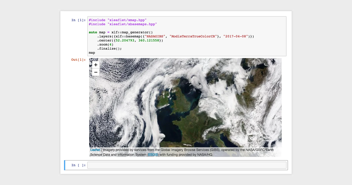
The recent release of the Jupyter kernel for C++, based on the Cling interpreter enabled a number of new workflows for the users of the C++...